Meet the people behind Newcastle University in Singapore.
Our diverse team is committed to fostering academic excellence, supporting student growth, and creating a positive environment for all.
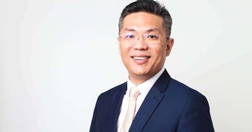
Provost and Group CEO (ASEAN)
Provost and CEO NUiS (Singapore)
Sorry, your search didn't match any staff. Please check your spelling or try to refine your search criteria