Geospatial Engineering Facilities
The School of Engineering has an exceptional range of geospatial engineering facilities, including laboratories with a wide range of analytical instrumentation. These support our research, teaching, and commercial work.
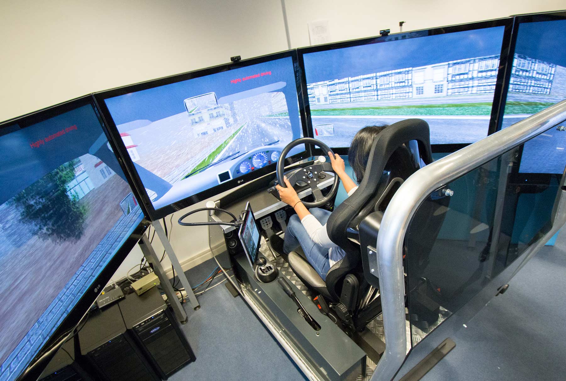
We have a range of exciting geospatial engineering facilities for students, researchers, and academics.
These include cutting edge drone technology, traditional survey equipment, and environmental sensor networks.
We use these resources to collect data about the world around us. We use powerful computers and industry-leading software packages to process, model, and visualise data.
Our group pioneers techniques to answer the research challenges facing the modern world.
Our facilities include:
- 3D laser scanners
- 3D Mapping with Drones
- GPS and electronic survey equipment
- Satellite imagery
- State-of-the-art computer software
- NEOLab – the Newcastle Earth Observation Laboratory
- Urban Observatory - the largest set of publicly available real time urban data in the UK. Our sensors are gathering data across the city. There are over 50 data types and counting
- Spatial database architecture – NISMOD-DB++
- STRAIN – dynamic visualisation of complex spatial simulation models