Maps and Directions
By plane, train, or automobile – we’ve never been easier to travel to. Discover how easy, quick, and affordable it is to visit us, and download our PDF campus map so you’re ready to start exploring Newcastle when you arrive.
Campus and city maps
Our postcode is NE1 7RU if you're using a sat-nav or route planner.
You can download our Campus and City Maps (PDF: 2.1MB), or view the Google Map below.
Public transport
By train
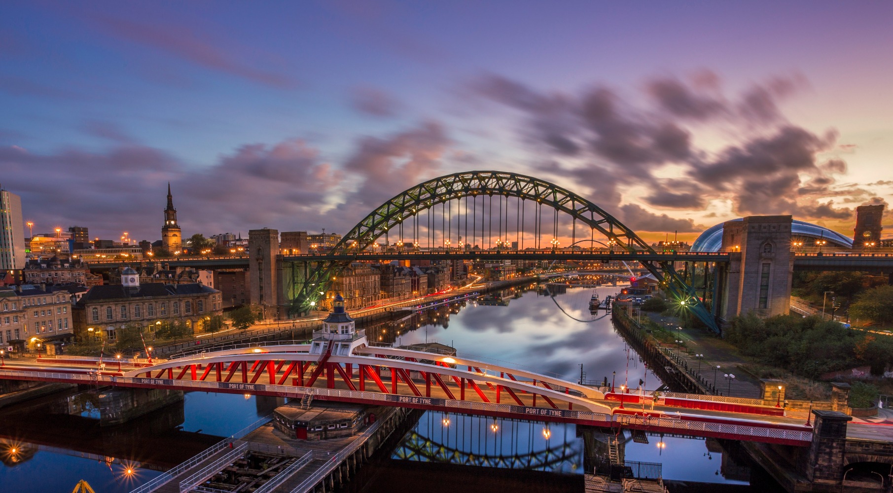
Newcastle Central Station is on the East Coast Mainline and just a 15 minute walk to campus. Reach us from London in under 3 hours, and regular direct rail services run from many UK cities. With a Student Railcard you save 1/3 on train travel instantly, too.
Below are some of the websites you might visit when planning on coming to Newcastle by train:
- National Rail and Trainline - journey planning, live arrival and departure boards for UK stations
- Eurostar - helps you plan your journey to us from Europe
By Metro
Newcastle University is connected to the city’s suburbs, airport, the coast, and a range of museums and sight-seeing opportunities by the Tyne and Wear Metro light rail service.
Haymarket is the closest station to the University campus and trains run frequently during the day, starting at around 5.45 and ending at around 23.30. Travel is quick, inexpensive, and even cheaper with a Student Metro pass.
Visit the Nexus website to find maps of the Metro system and Metro timetables.
By bus
Reach us by Megabus or National Express and enjoy a scenic journey that’s fuss-free and wallet-friendly. Reach us from London or Glasgow for under £10.
Newcastle is well-connected to all the culture, countryside, and nightlife the north east has to offer via our local Tyne and Wear bus service. For more information visit the Nexus bus website to find bus timetables and bus ticket fares.
By plane
Newcastle Airport is located about seven miles north west of University campus and hosts regular flights to domestic and international airports. Domestic flights are quick and affordable.
The University is connected to the airport by Metro line, and it’s just a cheap, quick, and fuss-free 25 minute journey from the airport to campus.
Buses from the airport entrance run to Newcastle city centre regularly, and you can plan this in advance through the Traveline website.
Arriving by sea without a car
If you're a foot passenger arriving at the North Shields ferry terminal, there are buses to Newcastle city centre. The bus journey takes approximately 30 minutes.
The nearest Metro station is Percy Main, about a 20-minute walk from the terminal building. The Metro journey into the city centre takes 20 minutes.
Arriving by car and parking
It’s easy to reach us by car, particularly if you’re travelling along the A1 (M).
Our postcode is NE1 7RU if you’re using a sat-nav or route planner. Park and ride is the best option for drivers.
Parking
We are unable to offer parking on campus.
However, we do have a limited number of spaces for visitors with mobility issues.
If you have reserved on-campus parking (via a member of staff) or are arriving by taxi, use the entrance on Claremont Road. The taxi drop-off point is on King's Road.
City centre car parks
There are many car parks in walking distance of campus. The nearest NCP car parks are:
- New Bridge Street (NE1 8AB)
- Carliol Square (NE1 6UL)
Park and ride
Metro park and ride facilities are available within and around Newcastle city centre. More information regarding park and ride services can be found on the Newcastle City Council website.