
Public transport
Check out the variety of sustainable travel options for getting to campus or travelling to our satellite sites.
Public Transport
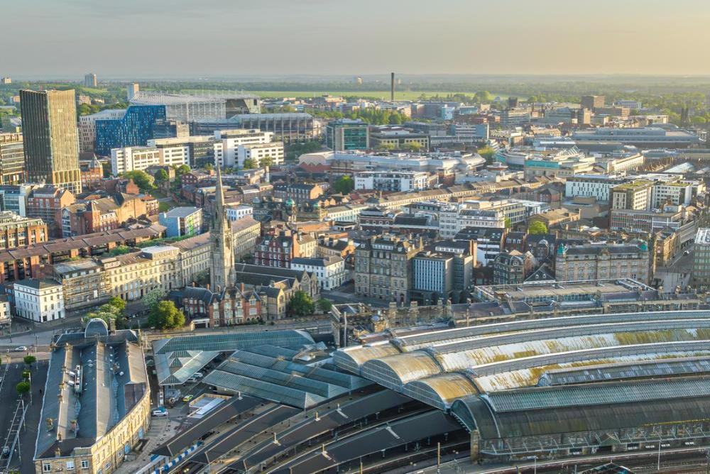
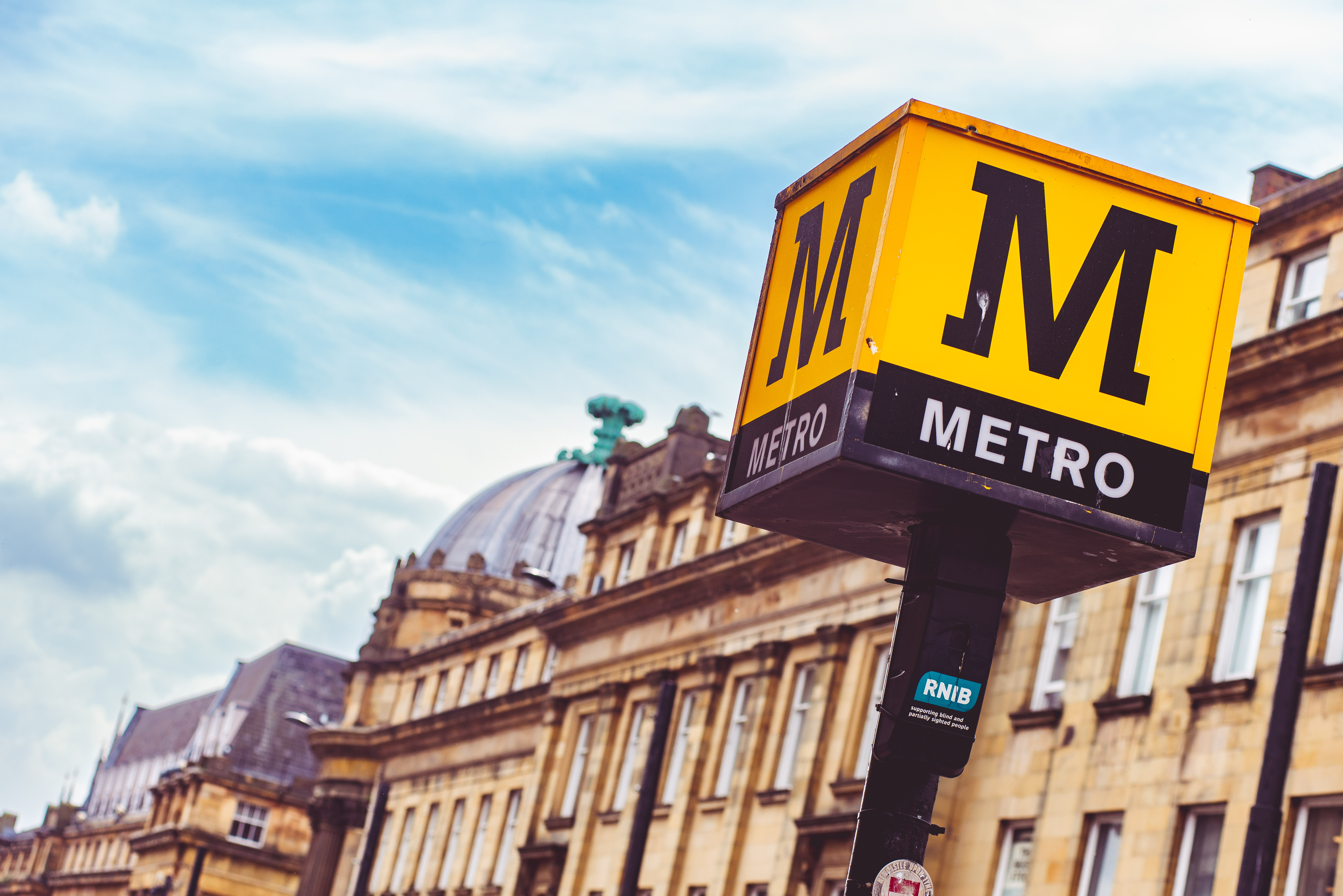
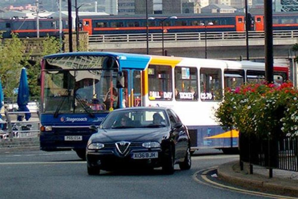
Carbon dioxide emissions per train/bus passenger are on average 6-8 times lower than the equivalent journeys by car. Our city centre campus is well connected by a variety of public transport links, such as the bus, metro, and national rail infrastructure. Take a look at the Campus & City map to see where the closest metro stations are located.
The table below shows some estimated travel times to campus from various locations.
You can also use our sustainability Sustainable Campus map to find out where the nearest bus, metro and train stations are.
|
Location |
Walking |
Cycling |
Public transport |
|
Arthur’s Hill (CAV) |
30-40 mins |
5-15 mins |
15-25 mins |
|
Gateshead |
40-50 mins |
15-25 mins |
15-25 mins |
|
Gosforth |
45-55 mins |
10-20 mins |
15-20 mins |
|
Heaton |
25-45 mins |
10-20 mins |
25-40 mins |
|
Jesmond |
15-25 mins |
5-10 mins |
10-20 mins |
Discounted Public Travel Schemes
The University provides a range of discounted travel schemes for staff, students can also access discounts for the metro and North East buses. If you would like some advice on which scheme would offer the best value for money for your journey, please contact ess-helpdesk@ncl.ac.uk.
Colleague Travel Schemes
Student Discounted Travel Schemes
Useful Links
- Pop app for metro users
- Travel Line is a site providing local public transport information and timetables. Travel Line also has a specific journey planner page where you can work out how to get from A to B using public transport.