Participatory Mapping Workshops in Ghanaian Communities
Researchers from our School conducted a number of workshops to document the impact of energy infrastructure projects in Ghana.
10 October 2025
The Energyscapes project – funded via The British Academy Knowledge Frontiers grant – is led by William Otchere-Darko and Raymond Abdulai in collaboration with UK and Ghanaian research partners Deborah Darko, Austin Dziwornu Ablo, Helen Akolgo-Azupogo and Pauline Destrée.
The project’s participatory mapping component seeks to uncover the often-hidden lived experiences around energy infrastructure sites using spatial visualization approaches. It stems from a key question:
What insights and value can emerge from impact maps created by community members themselves?
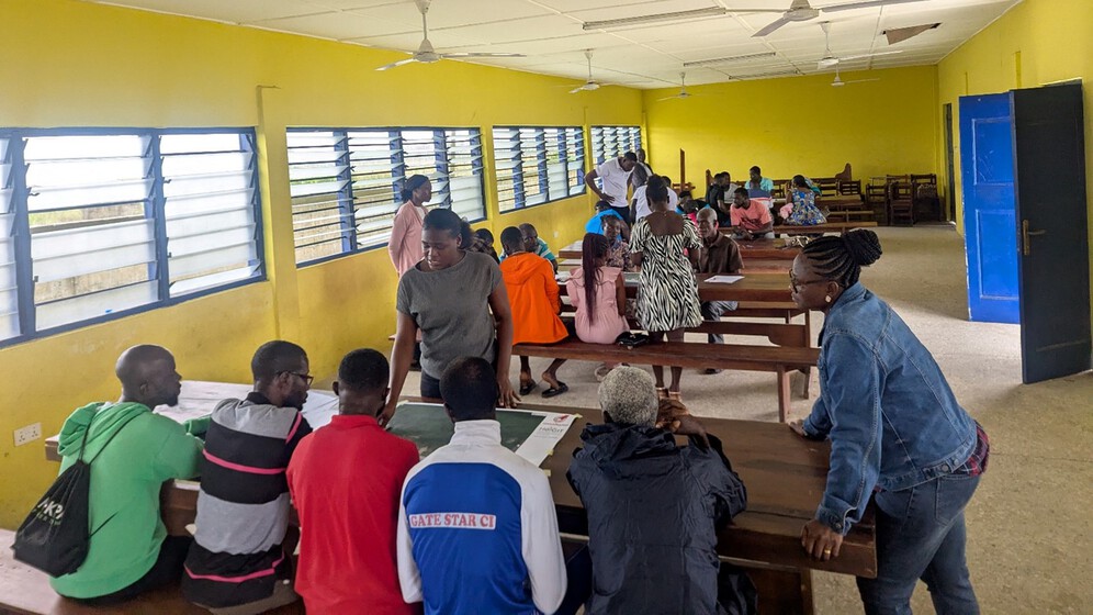
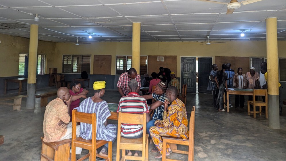
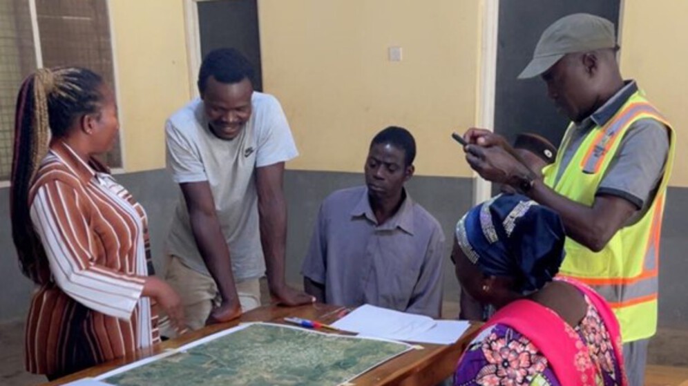
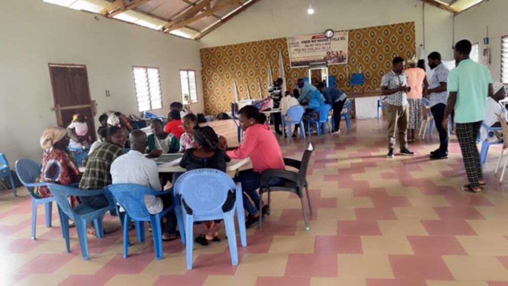
In August 2025, seven participatory mapping workshops were conducted in Ghana, led by Postdoctoral Researcher Albertini Nsiah Ababio and the project team.
.jpg)
The workshops took place in southwestern, midwestern and northwestern parts of Ghana, within communities hosting key energy infrastructures – thermal gas (Atuabo and Sanzule), hydroelectric (Bui, Bongase, Jama and Jama Newtown) and solar (Kaleo) energy infrastructure projects.
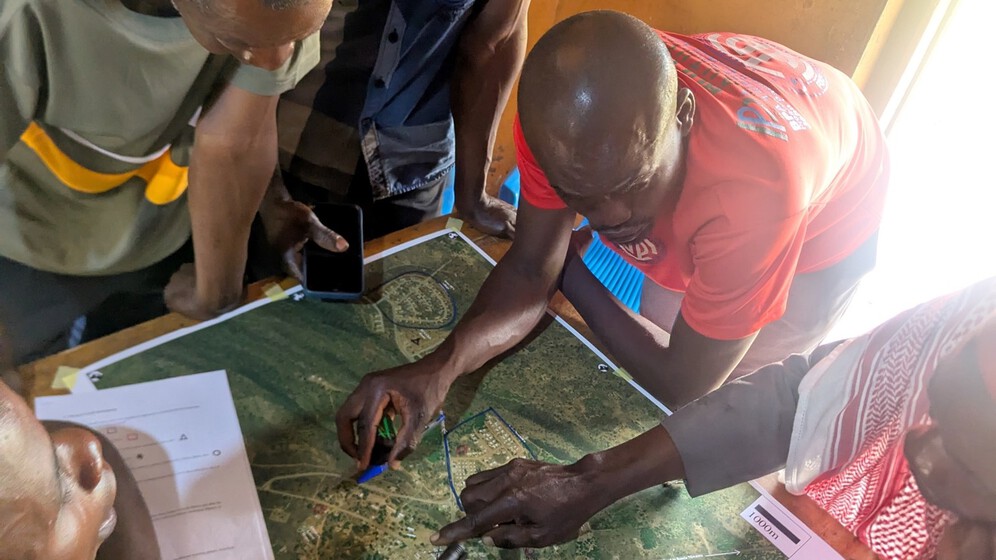
The workshops explored residents’ everyday experiences and interactions with energy infrastructures and landscapes. They aimed to map how these infrastructures have influenced experiences of the natural and built environments, redefined access to shared resources, influenced local benefits and generated new ‘hotspots’, adaptive practices, and community aspirations.
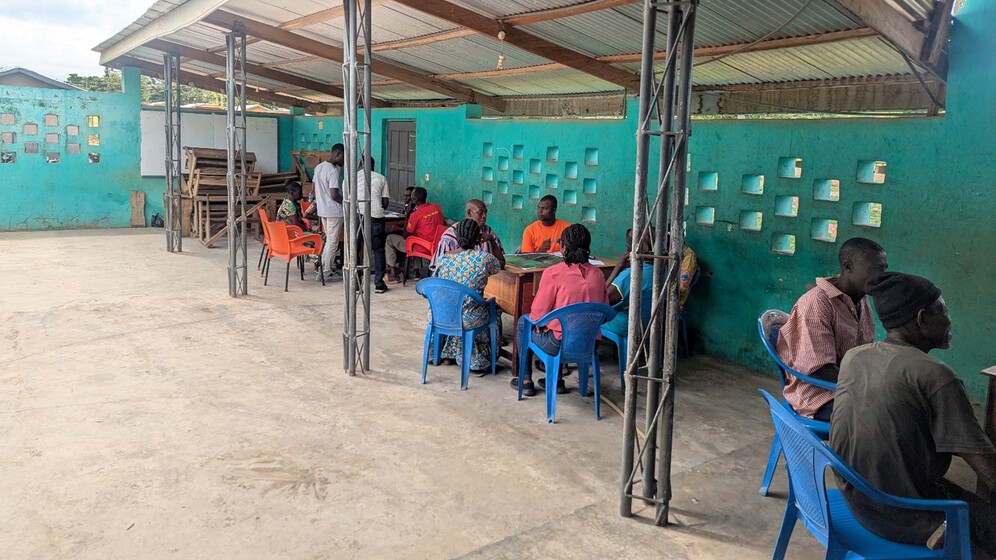
In total, over 200 participants – mainly farmers, fisherfolk and traders – took part in the workshops, with an average of 30 participants per workshop. Women represented 33% of participants, with gender balance being a recurring challenge. To support the mapping exercises, 15 local facilitators were recruited and trained to assist the research team.
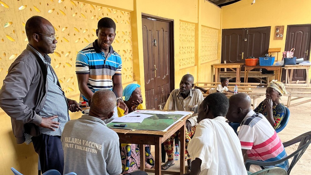
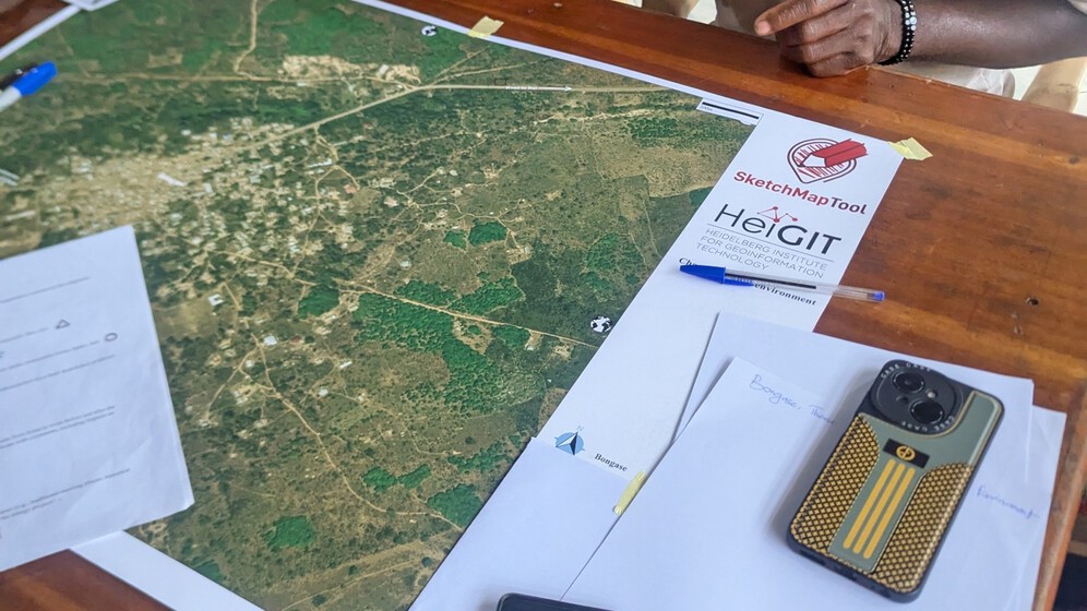
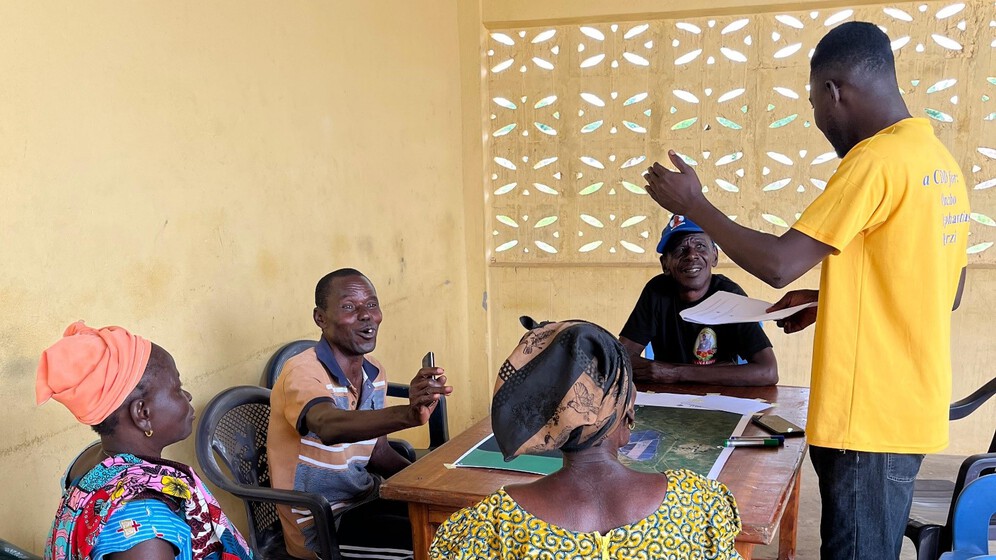
Each workshop began with a demonstration of sketch-mapping techniques to attendees, introducing participants to the use of colours and notations on prepared basemaps. Facilitators emphasized that the goal was not precision, but rather to capture how participants perceive, relate to, and experience these spaces in relation to the energy infrastructures. With translation support from local facilitators, participant groups rotated through themed mapping stations and annotated their experiences on specific maps. These activities sparked lively discussions – revealing overlaps, contradictions, consensus and at times, unexpected insights.
In the end, participants shared concerns, recommendations, and reflections, both on the daily challenges they face and on the mapping process itself. The workshops ended with words of appreciation to all participants, along with an explanation of how the maps would be utilized for advocacy, planning, and reporting with communities, advocacy groups, local authorities, energy infrastructure companies and parastatals as well as policymakers.
One participant, a man in his 60s, remarked:
“The groupwork was very perfect, at least the interactions with the participants and facilitators. The pertinent questions that were raised during our interactions and open forum I believe were well taken by the researchers and I thank them for that. My prayer is that we can have many more of such interactions”
The participatory mapping insights underscore that achieving an equitable and inclusive energy transformation depends on understanding these community-level experiences. As a team, we hope that these engagements will help shape sustainable energy governance in Ghana by fostering understanding and responding to the multidimensional challenges faced by communities living near energy infrastructures.
Special thanks go to Maxwell Gbadago, Zachariah Homiah, Inusah Loree and the other facilitators for their invaluable contributions during the workshops.