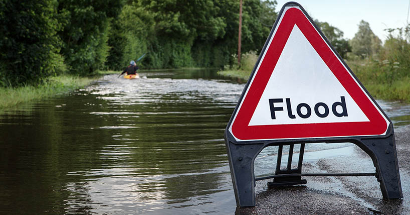
warning signs for extreme flash flooding
New study identifies warning signs for extreme flash flooding
Published on: 30 January 2026
Climate experts have identified an atmospheric configuration that can release huge volumes of water in a matter of minutes.
Led by Newcastle University and the UK Met Office, the research helps explain some of the world’s most dangerous flash-flood events and may aid future improvements in identifying risk. It offers forecasters new insights and could in the future help communities mitigate against extreme weather events.
Publishing in the journal Weather and Climate Extremes, the team found that the atmosphere can configure itself into a three-layered structure associated with very heavy rainfall developing within minutes. The findings help explain why the United Arab Emirates and Oman experienced record‑breaking rainfall and flash floods between 14 and 16 April 2024.
The study applies the Davies four-stage conceptual model for life-threatening rainfall extremes, which describes how severe rainfall develops through a sequence of atmospheric processes: pre-conditioning, lifting, realization of Moist Absolutely Unstable Layers, and the eventual transition away from intense rainfall.
Using this model, the researchers analysed the April 2024 event in detail. The experts found that a rare combination of weather systems funnelled large amounts of warm, moist air into the region. Although the atmosphere was not especially unstable, it became deeply saturated with moisture, creating the perfect conditions for intense and prolonged rainfall.
Moist absolute unstable layers
The analysis focused on a feature known as a Moist Absolute Unstable Layer (MAUL), a saturated layer of the atmosphere where air rises rapidly due to being warmer than its surroundings. The scientists found a relationship between MAUL depth, its saturation fraction (how full of moisture the air is), and total rainfall. Their results show that the presence of a deep MAUL combined with air that is almost fully saturated (saturation fraction close to one), increases heavy rainfall in the hours before and during the rainfall peak.
By looking at MAUL depth and atmospheric saturation together, they suggest that forecasters may in future be able to differentiate between regular rainstorms and the intense downpours that lead to dangerous flash floods. This could support improvements to early‑warning systems and strengthen climate resilience in regions vulnerable to extreme weather.
Professor Paul Davies, Newcastle University School of Engineering and former Chief Meteorologist, Met Office, said: "We now have evidence that this phenomenon is responsible for these rainfall extremes. If we implement these processes in today's weather models, and work with partners and communities to build solutions that mitigate against the consequences of extremes, then we believe our methods could give further advance notification to enable everyone to protect themselves and their livelihoods."
Professor Hayley Fowler, Professor of Climate Change Impacts, Newcastle University, School of Engineering, added: “Our group is committed to implementing these new science advances into operational systems as soon as practicably possible. This improvement in early warnings of walls of water will help to save lives around the world as the frequency of these short-duration downpours is increasing rapidly in our warming climate.”
Dr David Flack, Regional Model Evaluation Scientist, Met Office, said: “Having developed the conceptual model over the UK, its wider applicability is encouraging for the creation of a new globally-applicable forecasting technique that complements existing ones to enhance warnings, thus allowing people to make the decisions that they need to stay safe and thrive both now and in a changing climate.”
The study builds on previous work by showing how atmospheric saturation helps determine the type of rainfall that develops. The findings could also help explain extreme rainfall events in other regions of the world as the climate continues to warm.
Reference:
Davies PA, Flack DLA, Pirret JSR, Fowler HJ. Application of the Davies four-stage conceptual model for life-threatening rainfall extremes on the April 2024 United Arab Emirates and Oman floods. Weather and Climate Extremes (2025). https://doi.org/10.1016/j.wace.2025.100846