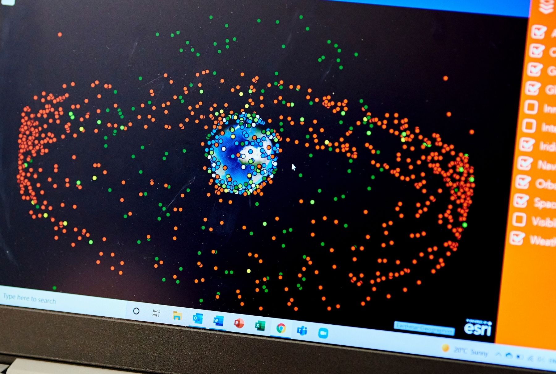
Earth observation
Explore how we're using space as a platform to gain vital information about the Earth's surface, atmosphere and oceans.
Safeguarding natural assets.
We are at the forefront of environmental research, specialising in multi-scale sensing technologies to monitor and protect natural capital.
Our expertise spans ground-based sensors, Internet of Things (IoT) networks, drones, airborne sensors, and satellite observations.
Through innovative projects and collaborations, we address critical environmental challenges and drive the adoption of new technologies to safeguard our natural assets.
Read on to explore some of our Earth observation projects.
Multi-scale sensing for natural capital monitoring
We have world-class expertise in multi-scale sensing for natural capital monitoring. Our capabilities include:
- ground-based sensors including Terrestrial Laser Scanning (TLS), Mobile Laser Scanning (MLS) and field spectroscopy
- Internet of Things (IoT) sensor networks,
- drones and airborne sensors including Light Detection and Ranging (LiDAR), multi/hyper spectral imaging and thermal imaging; and
- high-level satellite observations including optical and radar.
Our academics have worked on a range of applications including storm damage modelling, vegetation dynamics and health, habitat change, forest and crop monitoring, invasive species, and marine and coastal habitat mapping and restoration.
We undertake research in collaboration with industry partners. Research also informs government policy and drives the adoption of new technologies.
Monitoring natural assets with satellite application capabilities
Commissioned by the UK Space Agency, we conducted a three-month scoping study to identify space capabilities, skills and challenges in natural capital and ecosystem services monitoring and management in the North East of England.
In partnership with the National Innovation Centre for Rural Enterprise (NICRE) and the Rural Design Centre, we engaged directly with:
- natural capital stewards (policy makers, land managers, advisers, and owners)
- space sector businesses (consultants, analysts, and software providers)
- researchers specialising in earth observation and environmental management
Through one-on-one interviews and design-thinking workshops, we identified key themes and priorities tailored to the region’s unique needs. These findings will shape the next steps for impactful natural asset monitoring in North East England.
You can read more about this research and download the report on the NICRE website.
Imago: imagery data service
We’re working alongside Liverpool University on a major project to transform the usability of satellite data for social science and health research and policy applications.
Satellite imagery is a vast and untapped data resource with unique potential to help respond to a range of critical research and policy challenges in sustainability, wellbeing, and prosperity.
The initiative will deliver data products, applied research, and training for social science and health researchers, addressing key issues in environmental vulnerability, urban development, housing, inequalities, and wellbeing.
Using satellite tech to monitor algal blooms
Space technology has the potential to identify and help predict urgent environmental challenges.
An example is our proof-of-concept work to warn of algal blooms in lakes.
We're integrating multiscale terrestrial, airborne, and satellite data with geo-artificial intelligence. The data and analysis creates a water quality digital twin that can predict algal blooms.
The project is led by an interdisciplinary team. It includes experts in earth observation, computer science, geospatial engineering, and biogeochemistry.
The work is funded by NI SPACE, the UK Space Agency, and the Department of Agriculture, Environment and Rural Affairs.
Fast and accurate landslide detection for disaster response
Researchers from our School of Engineering have developed the Automated Landslide Detection Index (ALDI), a free, automated tool for fast and accurate landslide mapping.
Built on Google Earth Engine, it analyses hundreds of satellite images and outperforms manual mapping in 50% of cases.
- ALDIv1 generates detailed landslide maps for research, typically a year or more after an event.
- ALDIv2 is designed for emergency response, producing useful maps within two weeks.
Both versions are freely available as a Google Earth Engine app and API.
Using Earth observation to monitor and protect heritage
With support from the National Research Council of Italy and the Royal Society of the UK, we’re combining satellite and archaeological data to record damage to heritage in Iraq.
This project highlights the urgent threats facing Iraq’s archaeological landscapes, revealing how drought, groundwater pumping, and industrial activities are driving destruction and displacement.
By combining satellite imagery with archaeological data, we document damage to vital heritage sites, including traditional water systems that still support unique farming communities. As these systems vanish, so too do the communities and traditions they sustain, underscoring the critical need for preservation and intervention.