Geospatial research
Explore our work that grows understanding of Earth's patterns, supports resource management, plans cities, and promotes responses to environmental changes.
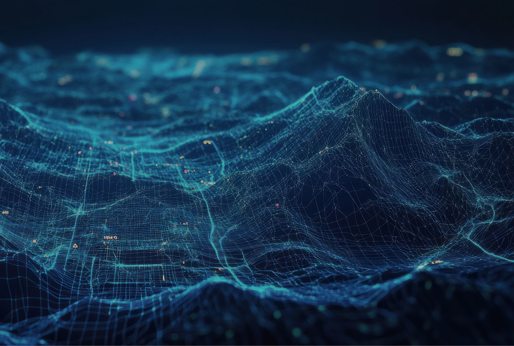
Vantage point
Space serves as a platform for geospatial research and innovation by providing a vantage point for observing and analysing the Earth's surface.
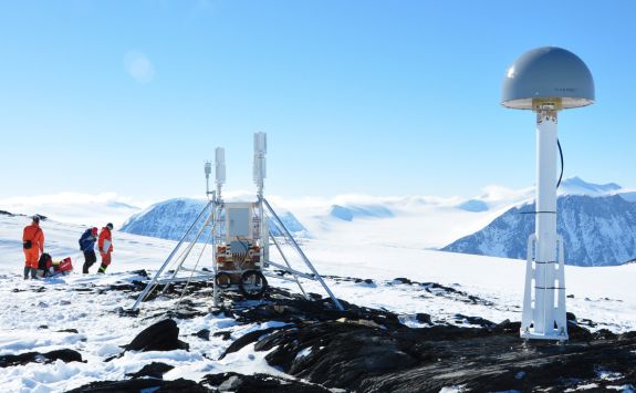
Our geodesists are working to advance mapping and engineering surveying by improving the analysis of Global Navigation Satellite System (GNSS) data.
We're also working to help agencies better understand how satellite data can help them manage disasters by building resilience, responding to emergency incidents, and supporting recovery.
Enhancing mapping and engineering surveying
Our researchers specialise in high-accuracy geodesy, advancing the measurement and representation of the Earth’s changing geometry, gravity and orientation in space.
Our research focuses on ultra-precise positioning and deformation monitoring using Global Navigation Satellite Systems (GNSS), in collaboration with UKRI (NERC), Ordnance Survey, and key industry partners.
By improving GNSS data analysis and mitigating geophysical and systematic errors, we can achieve mm-level accuracy, enhancing mapping, engineering surveying, and the monitoring of large safety-critical structures such as offshore platforms, dams, bridges and embankments.
Our work in this field supports industries including mining, offshore operations, civil engineering, utilities, and infrastructure.
Resilience to recovery – data for disasters
We lead a project called, Resilience to recovery - data for disasters. We shorten the name to R2-D2.
Funded and supported by the UK Space Agency, The UK Satellite Applications Catapult, and the Engineering and Physical Sciences Research Council, we have been leading a project to explore how satellite data helps Local Resilience Forums (LRFs) manage risks at all stages of emergency management.
LRFs are multi-agency partnerships. They are made up of both:
- Category 1 responders: emergency services, local authorities
- Category 2 responders: utilities companies, transport operators
LRF's are aware of satellite data. But they often lack the resources or expertise to use it effectively for building resilience, responding to emergency incidents, and supporting recovery.
The R2-D2 project improves their understanding of satellite data's value and how it can be integrated into public service operations.