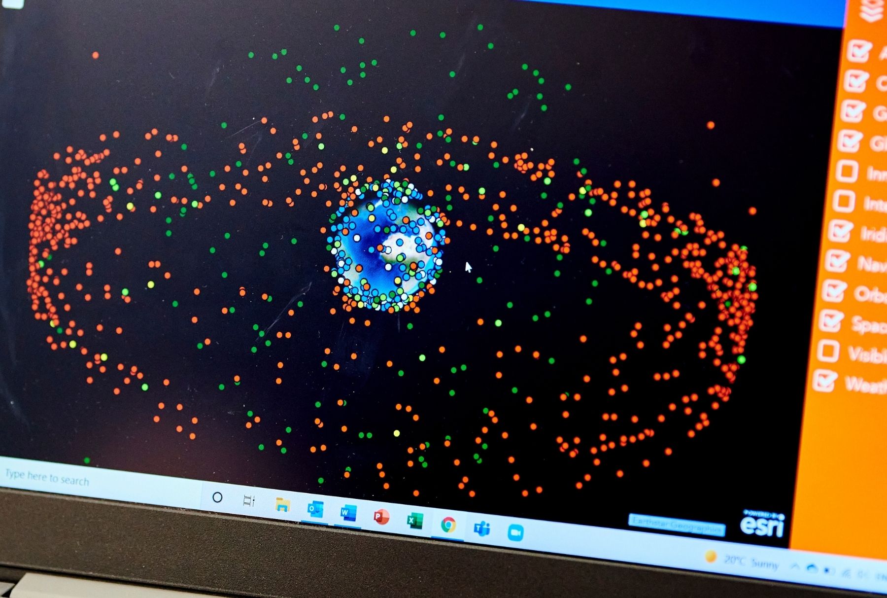
Configuration of Global Navigation Satellite System Infrastructure
A network design method that optimises regional, national and global GNSS Networks.
The Challenge
Real-time centimetre-level precise positioning from Global Navigation Satellite Systems (GNSS) is critical for activities including:
- landslide, glacier and coastal erosion monitoring
- flood modelling
- precision agriculture
- intelligent transport systems
- autonomous vehicles
- Internet of Things (IoT)
Real-time centimetre-level precise positioning can be achieved using real-time kinematic (RTK) GNSS. This approach uses a single receiver and a network of continuously operating GNSS reference stations (CORS).
But existing CORS networks often use simple regular spacing or clustering around cities. Often there is little consideration of weather, climate and topography. These variables can influence the GNSS tropospheric delay which is a significant positional error that prevents homogeneous RTK accuracy attainment (1).
Network operators often say that they can achieve cm accuracy. But we have generated evidence that accuracy is often closer to 3-5 cm.
The Solution
We have developed a framework to evaluate and enhance GNSS infrastructure. The framework accounts for both topography variations and the spatial-temporal variations of atmospheric water vapour.
Our novel methodology utilises two algorithms to determine optimal base station spacing:
- a uniform grid based algorithm for the global network
- a Delaunay triangulation based algorithm for local networks
Using our approach, we can advise GNSS network operators on how to improve their existing network. We can also to advise on the optimum set up of new networks using the smallest number of stations required to produce genuine cm-level accuracy in real time.
Currently planners locate stations as evenly as possible across their geographic region. But this is not always the best option. We have demonstrated that fewer stations can be used when located using the Newcastle network optimisation methodology.
Currently planners locate stations as evenly as possible across their geographic region. But this is not always the best option. We have demonstrated that fewer stations can be used when located using the Newcastle network optimisation methodology.
The Opportunity
GNSS Network Design and Optimisation
The novel Newcastle network optimisation methodology can support network planners to optimise regional, national, and global GNSS Networks. It can also support commercial GNSS network operators
Correction Software for GNSS Providers
Bespoke software modules can be developed for service providers. The modules estimate the correction required for each base station in the network. That will enable the service provider to provide greater accuracy for their users. This would be particularly important for those providing services in mountainous regions.
Intellectual Property Status
This technology is patent protected.
- Configuration of Global Navigation Satellite System Infrastructure
- WO2021094753A1
- Publication Date: 20th May 2021
- Applicant: University of Newcastle upon Tyne
- View on Google Patents
References
- Yu C, Penna NT, Li Z. 2020 Optimizing Global Navigation Staellite Systems network real-time kinematic infrastructure for homogeneous positioning performance from the perspective of tropospheric effects. Proc. R. Soc. A 476: 20200248 [Open Access]
Contact
- Dr Emma Ritchie
- Emma.Ritchie@newcastle.ac.uk