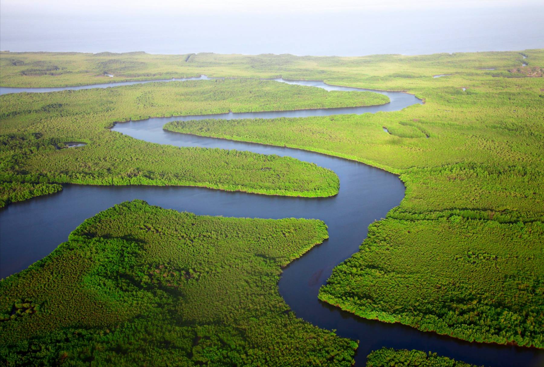
Water
Making catchments, cities, and infrastructure more productive, safer, and sustainable.
Our research
Our research themes integrate advanced computer simulation capabilities, statistical methods, and systems modelling.
We have a long-term commitment to field experimentation and engineering interventions at a range of scales. We have organised our research around five inter-related areas:
Climate Impacts and Adaptation
Forecasting, predicting changes to, and identifying how to respond to climate hazards and impacts.
Water Management
Developing innovative multi-scale systems approaches to water management.
Blue-Green Cities
Helping planners, policy-makers, utility owners and communities develop blue-green cities.
Flood Risk Management
Characterisation and management of flood impacts through state-of-the-art modelling tools.
High Definition Modelling
State-of-the-art high-definition hydrological and hydraulic computational modelling.
Our work often cuts across themes and research disciplines. For example, we led the internationally renowned GCRF Water Security and Sustainable Development Hub. This UK Research and Innovation (UKRI) funded project brought together leading researchers from around the world.
Research themes
Sustainable and resilient development
Much of our research in the Water group is dedicated to the development of sustainable and infrastructure. We use modelling tools to assess the impact of flooding, developing data that can help manage flood risk. Our work developing blue-green cities helps planners and policy makers to deliver infrastructure services which are resilient to climate extremes and emit minimal greenhouse gases.
Water is humanity’s most valuable resource. It’s essential to food security, health and wellbeing, economic prosperity, and all life on Earth. Water security is threatened by pressures like pollution, over-use, ecological damage and climate change.
Insights North East (INE): Climate Action theme
Funded by Research England, “Insights North East” brings together research and regional knowledge for the long-term benefit of the North East. It bridges the divide between research and place-based policy making. We produce accessible and actionable insights for North East policymakers. Develop the capacity and capability of regional policymakers and academics so that policy evidence engagement becomes a sustainable, embedded, and systemic activity.
Find out more about the project on the Insights North East website.
ETHOS-UK
The Co-developed Environmental Solutions to Mitigate the Impact of Temperature Extremes on the Health of Vulnerable Populations (ETHOS-UK) project seeks to improve understanding of how extremes of temperature impact the health of the most vulnerable in the UK. It looks at how interventions can be better targeted to address challenges of health inequalities under uncertain futures of climate and demographic change.
Climate Ambassadors
This project aims to turn climate ambition into climate action in education. Climate Ambassadors matches volunteers with a passion for tackling climate change and sustainability with education settings, to develop climate action plans in nurseries, schools and colleges.
Find out more about this project on the Climate Ambassadors website.
Power-Kenya
Kenya Vision 2030 targets universal energy access and 100% renewables, but over half the population still lacks sustainable energy. With nearly 50% of electricity from weather-sensitive sources, effective planning is hindered by limited climate forecasting. The Potential of sub-seasonal Operational Weather and climate information for building Energy Resilience in Kenya (Power-Kenya) project aims to close this gap. This is crucial for optimising energy generation, storage, and market decisions.
Resilience Toolkit for Offshore Energy Systems (ResTOrES)
The ResTOrES project will develop, test, and demonstrate a prototype resilience assessment toolkit for offshore energy systems. The toolkit will enable the quantification of resilience in terms of appropriate metrics during both standard operation (primarily governed by system reliability) and extreme events (primarily governed by robustness and restoration).
National Hub for Decarbonised, Adaptable, and Resilience Transport Infrastructures (DARe)
The National Hub for Decarbonised, Adaptable, and Resilience Transport Infrastructures (DARe)’s mission is to find viable pathways and solutions for a transition to an adaptable, resilient, net zero transport system that works for all.
Find out more on the DARe website.
Tyndall Centre for Climate Change Research
Key areas of research for the Tyndall Centre for Climate Change Research cover:
- urban sustainability
- infrastructure systems
- adaptation and resilience
- water resources
- climate downscaling
- climate impacts analysis
- flood and coastal engineering
- spatial planning
GCRF Water Security Hub (legacy project)
The GCRF Water Security Hub brought together an international, interdisciplinary team. They worked collaboratively over five years to tackle threats to water security. The team also contributed to achieving UN Sustainable Development Goal 6: Clean Water and Sanitation.
Impact
With a global scope and a focus on developing local solutions, our research produces innovative strategies in a rapidly evolving field.
Our high quality academic work is responsive to large-scale societal needs and demands.
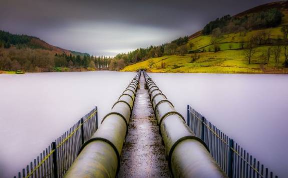
Managing global water supplies
The management of water resources is a source of potential conflict all over the world. This is particularly the case where supplies cross political boundaries. We have earned a global reputation for applying solid science to bring resolutions to such issues.
Preparing our cities for climate change
We use climate models to identify future changes in flooding, droughts and heatwaves. These are affecting many European cities. Our landmark studies have shown that the incidence of extreme weather will exceed previous predictions.
Cleaning up mine water pollution
We are tackling the global problem of freshwater pollution by metals discharged by active and abandoned mines. Our expertise has shaped international guidelines on mining pollution management. It has informed policy and practice at a national and regional level.
Robust climate change risk assessment
Our research into stochastic rainfall models has transformed impact assessment of climate change and risk assessment of environmental hazards. Many industrial and business sectors now base assessments on our work. Read our impact case study to find out more.
Nature-based engineering solutions to reduce the impact of flooding
The town of Belford in Northumberland has records of flood events dating back to 1877. Traditional flood defences are not suitable. We worked in partnership with the North East Local Levy team. Together, we addressed the flood problem using soft engineered runoff management features. Find out more on our dedicated research site.
Communicating our work to the wider public
We showcase our work in a variety of ways. In 2017, FLOOD! was hosted at the Great North Museum. Visitors experienced a mixture of interactive games, videos and virtual reality. They found out what floods are, why they happen, and how they might change. To find out more, please read this article published by Newcastle University's Press Office.
Transforming Newcastle into a Smart City at the Urban Observatory
We co-lead the Urban Observatory. We use the largest set of publicly available real time urban data in the UK to improve our ability to forecast flooding.
Managing urban flood risk in partnership with Northumbrian Water Group
Flood Force: finding solutions in good company is the result of a winning idea submitted by Northumbrian Water and Newcastle University to the first LWEC short film competition. We used the North East’s experience of flooding from extreme rainfall to show how leading UK research can contribute to better decision-making. It places a particular emphasis on how business can take action to reduce the risk and the costs of flooding.
PhD opportunities
Various funded PhD studentships related to our research are available. Funding from the Engineering and Physical Sciences Research Council (EPSRC) and the Natural Environmental Research Council (NERC) allows us to offer a variety of opportunities.
You can also study with us via a UKRI-funded Centre for Doctoral Training (CDT) or Doctoral Training Programme (DTP):
- WIRe CDT - EPSRC Centre for Doctoral Training in Water Resilience and Infrastructure
- IAPETUS2 CDT - NERC Centre for Doctoral Training in Science of the Natural Environment
- FLOOD CDT - NERC Centre for Doctoral Training for Resilient Flood Futures
For a list of currently available PhD projects within the School of Engineering, please see our PhD Opportunities page.
Teaching
Our Civil Engineering Undergraduate programmes give you a path to become a professional engineer. You have the opportunity to specialise in Water Resources Engineering in Year 4 of the Civil Engineering MEng Honours programme.
Our cutting edge Postgraduate Taught (MSc) programmes equip you with the advanced skills and expertise to address the world's most pressing water challenges.
Read more about our taught programmes using the links below:
Collaboration and partnership
We work with a range of partners in our education and research programmes. This ensures our students are ready to work in the water sector, and to maximise the impact of our research.
Our partners in Newcastle, the UK, and internationally, include:
- Multi-national corporations and SMEs
- Public sector professionals
- Civil society
- Professional institutions
- Voluntary organisations
- Schools and colleges
- Policymakers
We have collaborated with:
- ARUP
- Northumbrian Water Group (NWG)
- United Utilities
- JBA Consulting
- Environment Agency
- OFWAT
- Willis Towers Watson
- Met Office