Geospatial Engineering
Everything happens somewhere, and geospatial engineering plays a pivotal role in helping us understand, manage and interact with the world around us.
Introduction
Geospatial engineering is about working with data tied to specific locations. Since everything happens somewhere, geospatial engineering helps us better understand and manage the world around us.
Our research covers how location-based data is collected, organised, analysed, and interpreted. It has many applications across science and engineering, from tackling global challenges like climate change to advancing technology.
We use innovative tools such as Artificial Intelligence (AI) and big data analytics to drive solutions that make a real impact.
Our research
Established in 1962, the Geospatial Engineering group has over six decades of experience in the field of geospatial sciences and our research addresses some of the most pressing challenges facing society today.
Our researchers develop and apply modern big data and AI methods in:
- remote sensing
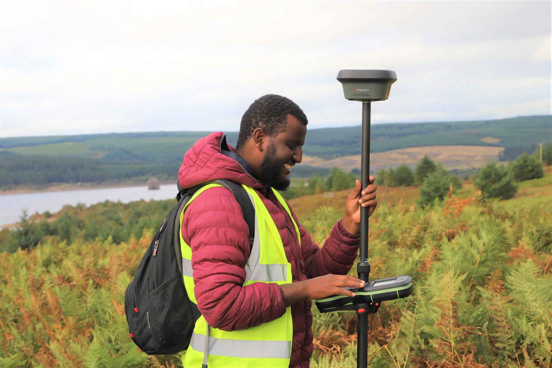
- global navigation satellite systems (GNSS)
- geographic information systems (GIS)
- spatial data analytics
This is to better understand the dynamics of our natural and built environments.
Our geospatial research tackles climate change, hazards, sustainable cities, energy, and health with real-world impact. Working closely with industry, government, and global organisations, we drive innovation in location technologies and train future professionals.
Research themes
The groups research focuses on improving the world and environment around us. Predominantly developing and using core geospatial techniques and methods, such as earth observation and geodetic positioning, to the use of advanced technologies. This includes approaches such as AI and urban modelling. Some of the key themes our research encompasses are summarised below. However, our research portfolio and interests can often cover much more.
Sustainable and resilient development
Our research is heavily influenced by important national and global challenges. One such challenge is the need for more sustainable and resilient development, cities and societies as a whole. Using the geospatial technologies, our research helps inform policies and understand how challenges can be addressed. Using earth observation data for instance we explore how pollution incidents can affect areas and help monitor changes in the environment. Using spatial modelling, we can balance the need for urban growth and more housing, while creating resilient communities.
Net zero
Our work also explores the transition to net zero, and how this might be done in an effective, considered and resilient manner for society. This includes exploring and modelling the role active travel can play in reducing car dependency. It also looks at how such networks can be most effectively designed.
We explore the resilience of key infrastructure, such as energy and transport systems, to hazards, systems. These are vital in supporting the transition to net zero and broader society, including the electrification of transport.
Data, digitisation and AI
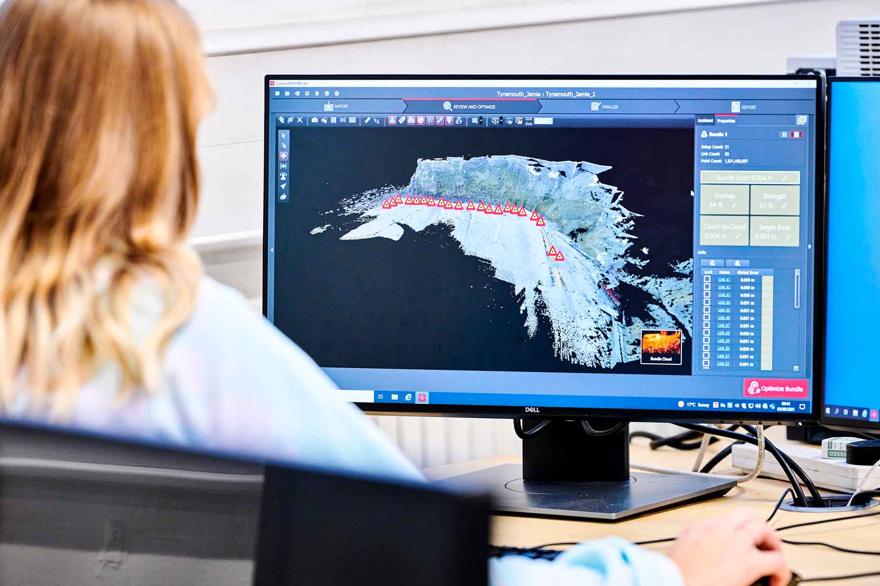
Geospatial data is critical to addressing many challenges faced by societies across the globe. As a research group we have expertise in the full spectrum of geospatial data, from capture to collection and analysis.
Digital advances enable this data to be used more effectively. From the use of machine learning to extract new insights from satellite and drone imagery, to the use of AI to support in decision making processes.
Our research utilises these resources and technological advancements to help address and explore critical challenges. This includes the use of satellite data for monitoring the Earth's deformation to the use of AI to extract insights from data observations and for finding optimal solutions in spatial modelling.
Human health
The impacts of climate change affect human populations across the word in different ways. Using geospatial data, we explore the impact of droughts and how this can be assessed and monitored though high-precision observations. We also use geodetic data to understand the movement of the Earth's surface and its impacts. This can be both natural phenomena such as glacial retreat and earthquakes, to man-made influences, and how this changes over space and time.
OpenLAND
This £4million project is exploring land use futures with a focus on soil health as the UK attempts to transition to a Net Zero future. The project explores how different land use interventions can help tackle climate challenges while protecting and maximising soil health, while also considering other land use competition, such as for urban growth.
MACC Hub
The Maximising Adaptation for Climate Change (MACC) hub is a £5million project working to help ensure the UK adapts faster and more effectively to the challenges of climate change. Newcastle, an academic partner, leads the work on Data Modelling and assimilation, helping to provide organisations with the data and visualisations needed to inform decision-making and the training required to understand some of this data in more detail.
DARe Hub
A National Hub for Decarbonised, Adaptable, climate Resilient transport (DARe), it hopes to guide national policy and decision making as the UK tries to move towards a Net Zero future. The £10million project, with direct support from the Department for Transport, will explore the transport transition to a low carbon future while also being more resilient.
ALGAE-Watch
Algae blooms are becoming an increasing threat to the health of water bodies and their related ecosystems, with an increasing frequency of damaging events driven by poor water quality and climate change. Using earth observation data and AI to understand these better, this project hopes to be able to reduce the likelihood and scale of future events protecting the natural environment.
Geospatial Systems CDT
A collaborative partnership between ourselves and the University of Nottingham, this EPSRC Centre for Doctoral Training (CDT) aims to develop 50+ experts at PhD level in geospatial systems. Geospatial data and technology is a rapidly expanding industry, which is central to helping address many of the worlds greatest challenges such as climate change and it's related effects.
Ready for Change
This project is exploring the development of CPD courses and how learners most effectively engage and learn from online courses. Courses, within the theme of climate change, including geospatial data use, are being developed to explore this in detail and highlight effective strategies and approaches to online learning for work based learners from diverse backgrounds.
Impact
We conduct research to improve society and shape both regional and national policy. Our projects often involve national policymakers, including the Department for Transport and the Committee on Climate Change, ensuring our work reaches key decision-makers. We also collaborate with regional groups, such as the North East Combined Authority and local councils, to guide policies and support better decision-making.
Our academics and researchers sit on panels and share insights and research outcomes with decision makers. Some highlights include:
- Research to predict, detect and monitor toxic blue-green algae blooms
- Academics invited to discuss the challenges and future of geospatial education
- Academics invited to workshops on the UK's land-use mapping
We also co-lead the Newcastle Urban Observatory, the largest collection of open city-wide urban data in the UK, which is influencing decision making at the city level and demonstrating the ability of smart-cities to be able to improve urban environments.
PhD opportunities
Our large cohort of PhD research students is funded through various means, including the £7m UKRI Centre for Doctoral Training in Geospatial Systems, which we lead. Some are also funded through other similar programmes, with some listed below. We offer an exceptional environment for doctoral study and welcome interest from enthusiastic talent. We encourage potential applicants to liaise with an appropriate member of academic staff. Support and guidance is always offered on funding opportunities and research areas.
Teaching
Our teaching spans across the university, delivering specialised training and programmes on geospatial topics. We lead an MSc in Geospatial AI using the latest technological advancements in the geospatial field. We also deliver major components of degrees in Civil Engineering and other programmes across the university.
- Leading the Geospatial AI masters: GeoAI MSc
- Civil engineering undergraduate programmes: Civil Engineering BEng and Civil Engineering MEng
- Civil engineering masters: Civil Engineering MSc
- Lead and contribute towards CPD course in GNSS and climate change, and more
.jpg)
Collaboration and partnership
We work with a range of public and private organisations on our research, helping us to have real impact and influence a change for the better across many sectors and communities, both local and global. These partnerships also influence our teaching, with many partners supporting PhD students and delivering lectures as part of our programmes.
Academic partners: We work with many academic institutions within the UK, Europe and globally, on developing and delivering research. These include Cambridge, Liverpool, Nottingham, University of East Anglia and many more within the UK.
Industry partnerships: We work with industry and many government bodies and organizations to ensure our research makes a difference where it matters. Some of these partners include:
- Ordnance Survey
- Leica Geosystems
- UK Hydrographic Office
- DfT (Department for Transport)
- Network Rail
- DSTL (Defence Science and Technology Laboratory)
- Airbus
- UK Space Agency
- British Antarctic Survey
- NECA (North East Combined Authority)
- Gateshead and Newcastle City councils
Current PhD students
- Adam Booth
- Abhinav Galodha
- Ambreen Masud
- Clive Drowley
- Chris Larkin
- Carrow Morris Wiltshire
- Clara Peiret-Garcia
- Daniel Basil
- David Gregg
- Ellie Myall
- Francisco Salgado-Castillo
- Grace Jones-Cooke
- Hope Irvine
- Joe Haines
- Junbing Liu
- Kaitlyn Ries
- Luis Felipe Patino Velasquez
- Mathew Chapman
- Michael Jones
- Mingyu Zhu
- Nadia Skifa
- Olivia Fairless
- Ruth Dunn
- Rebecca Guiney
- Roy Johnson
- Rinrada Srikwanma
- Thomas Goldring
- Tim Rodaway