Geospatial Artificial Intelligence MSc
- Study mode and duration
- Course code
- 5540F
- Fees (per year)
- Typical entry requirements
-
View full entry requirements - Course delivery
- On Campus
Course information for entry year:
Overview
The Geospatial Artificial Intelligence (Geo-AI) MSc combines geospatial engineering with AI, big data science, and digital technologies. You'll be equipped with in-demand skills that are highly valued by employers worldwide.
This master’s programme combines geography, sustainability, and cutting-edge geospatial engineering with artificial intelligence (AI) and big data science. We will equip you with industry-standard skills and prepare you for a wide range of careers. Geo-AI engineers develop tools and technologies ranging from satellite positioning and earth observation to advanced Geographic Information System modelling and visualisation.
You'll gain skills in:
- geospatial science and engineering
- AI
- big data
The course is ideal for students from scientific backgrounds, including geography, environmental science and earth science. It's also well suited for those looking to improve their geospatial engineering expertise for today’s big data-driven workplace.
This course provides you with the location-based skills required to solve problems by linking different data sets together. This will help you harness data to understand the natural and built environment around us.
You’ll graduate with advanced skills in digital technologies and geospatial analysis. You'll be equipped to apply AI to real-world challenges and drive future environmental and spatial decisions.
There are several scholarships and bursary options available for this course, please see 'Search for funding' in the Fees and Funding section.
You’ll benefit from Newcastle’s leading research in:
- satellite positioning
- photogrammetric computer vision
- spatial modelling
- sustainable land-use planning
By covering all major geospatial disciplines, the programme provides a balanced learning experience, rooted in both theory and practical application.
Important information
We've highlighted important information about your course. Please take note of any deadlines.
Please rest assured we make all reasonable efforts to provide you with the programmes, services and facilities described. However, it may be necessary to make changes due to significant disruption, for example in response to Covid-19.
View our Academic experience page, which gives information about your Newcastle University study experience for the academic year 2025-26.
See our terms and conditions and student complaints information, which gives details of circumstances that may lead to changes to programmes, modules or University services.
Quality and ranking
Professional accreditations are reviewed regularly by professional bodies to ensure they meet the latest industry practices and regulatory standards. This keeps your degree rigorous, relevant, and highly valued by employers, providing a clear pathway into your chosen career.
If you are studying an accredited degree and considering a career in Europe after graduation, it is important to stay informed about international standards. The best resource for current information is the UK Government's guidance on recognition of UK professional qualifications in EU member states.
This official resource provides essential details on:
- whether your profession is regulated in another country.
- the specific steps you need to take to practice abroad.
- which organisations you should contact to begin the process.
Our students


Chatwipa from Thailand
Data Science MSc
I was impressed by the support provided to international students, especially the Airport Meet and Greet service.


Varsha from India
Data Science and AI MSc
Newcastle truly feels like a second home, with its accessibility, vibrant student life and the amazing friends I’ve made along the way.

Harsh from India
Computer Game Engineering MSc
I was surprised at the diversity of Newcastle - there are lots of students from all over the world studying here, and it is easy to make friends.
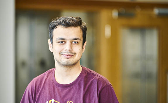
Shubh from India
MSc Cloud Computing
I chose Newcastle University because of its strong reputation in computing and the vibrant, research-led learning environment.
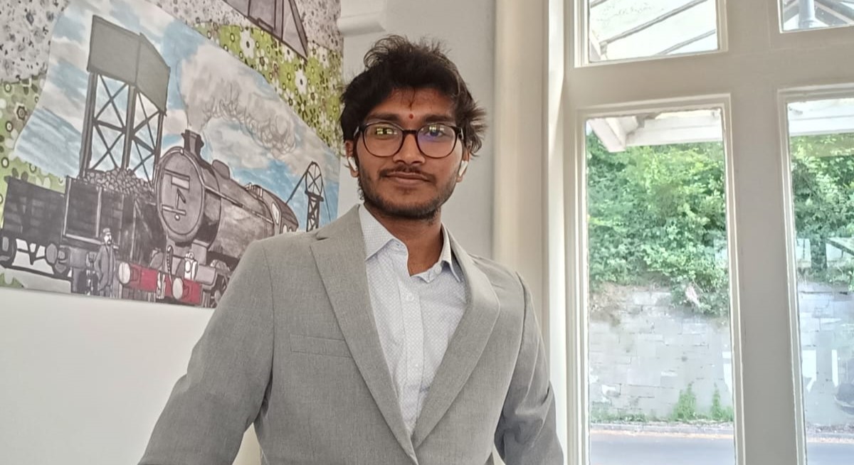
Hemanth from India
MSc Data Science & Artificial Intelligence
I’ve developed strong problem-solving and analytical skills, as well as practical experience with data analysis tools and programming languages.

Vaibhav from India
Computer Game Engineering MSc
My favourite thing about the MSc programme is the practical, hands-on approach to learning real game development skills.

Vivan from India
Data Science and AI MSc
This degree covers the full spectrum of modern data science and AI, from mathematical foundations to advanced topics.


Yiran from China
Data Science and AI MSc
The University also offers a lot of language assistance for international students, which helps make learning and everyday communication much easier.


Lauren from United Kingdom
Advanced Computer Science MSc
The course has given me the opportunity to build on what I learnt during my undergraduate degree and explore areas of computing in much more depth.
What you'll learn
- Advanced Geo-AI skills
Develop advanced skills in geospatial science, AI and data analysis. You'll use digital technologies to understand environmental and spatial challenges.
- Practical digital experience
Build practical experience in coding, GIS, spatial modelling, earth observation and data processing. You’ll also strengthen your project management, communication and problem-solving skills.
- Responsible AI and data use
Explore the ethical and professional issues linked to AI, machine learning and location data. Learn how to use Geo-AI responsibly across different industries.
- Research and industry collaboration
Learn from leading researchers in satellite positioning, spatial modelling and sustainable land-use planning. You'll work on industry projects and research-led learning to prepare for specialist careers or further study in Geo-AI.
Modules
The module information on our course pages is intended to provide an example of what you will study.
Our teaching is informed by research. Course content changes periodically to reflect developments in the discipline, the requirements of external bodies and partners, and student feedback.
Full details of the modules on offer will be published through the Programme Regulations and Specifications ahead of each academic year. This usually happens in May.
Some courses have optional modules. Student demand for optional modules may affect availability.
How you'll learn
You’ll be taught using a range of methods, including:
- lectures
- seminars
- practical lab/workshop sessions
- field work
- group work
- case studies
Depending on your modules, you'll be assessed through a combination of:
- Case study
- Computer assessment
- Dissertation
- Lab exercise
- Practical lab report
- Poster
- Portfolio
- Problem-solving exercises
- Reflective log
- Written examination
- Written exercise
In Semester 3, you’ll complete a 60-credit independent research project, including a written dissertation. Most projects involve industry collaboration and let you explore a topic of personal or professional interest.
You’ll receive one-to-one academic guidance with an academic adviser and a dedicated dissertation supervisor. Advisers are available during office hours, and you’ll benefit from a supportive research environment throughout the course.
Your teaching will be led by experts in their fields, including:
Professor Jon Mills specialises in:
- Development and assessment of new and integrated earth observation sensor systems and platforms
- Novel methods and models for fusing multi-modal earth observation data
- AI/machine learning for image information extraction
Dr Craig Robson specialises in:
- Using spatial data through data-science approaches to solve complex problems
- The application of digital technologies such as AI, ML, BIM and digital twins in Engineering contexts and for exploring the impacts of climate change
- Data handling and management for complex, diverse geospatial datasets
- Approaches for data visualisation and decision support tools for real-time decision making
Professor Peter Clarke specialises in:
- Using global satellite geodesy to observe the seasonal water cycle, climate change, sea level, and glacial isostatic adjustment
- Global geodetic reference frames – the basis of all spatial data
- Geodetic observations of the earthquake cycle and associated geophysical inverse theory and data assimilation methods
Dr Maria-Valasia Peppa specialises in:
- Integrating multimodal and multiscale geospatial data and Earth Observations from various sources (e.g. drones, satellites, laser scanners, digital cameras, GNSS etc)
- Applying photogrammetric, remote sensing, and computer vision techniques to real-world problems relating to the natural and built environment
- Applying AI/machine learning with drone and satellite imagery to monitor water security-related challenges
Dr Achraf Koulali Idrissi specialises in:
- Using geodetic observations to study the active deformation of the Earth’s crust
- Measuring 3D crustal movements to understand better modes of strain accumulation on major faults and the Earth’s rheology
- Measuring the glacial isostatic adjustment in Antarctica using satellite geodetic observations.
- Applying advanced machine learning methods, including physics-informed approaches, to extract meaningful geophysical signals from complex datasets.
Dr Henny Mills specialises in:
- Delivering in-depth instruction on modern surveying techniques and instrumentation. Including total stations, GNSS, and levelling, with emphasis on application in engineering and the built environment.
- Providing expertise in the design, processing, and management of spatial datasets using geospatial databases.
- Focusing on ensuring data integrity, interoperability, and practical application in engineering contexts.
- Instructing on BIM (Building Information Modelling) methodologies and tools for the digital representation of physical and functional characteristics of built environments. Highlighting workflows, collaboration, and lifecycle data integration in engineering projects.
Dr Alistair Ford specialises in:
- Development of transport cost models through complex network analysis
- Cellular automata modelling and multi-criteria analysis
- Development of decision-support tools within commercial GIS software
Xiang Xie specialises in:
- Digital transformation of the built environment
- Digital twin for existing built assets
- Data-centric facilities asset management
- Energy informatics for the decarbonisation of buildings
- Whole-life carbon assessment for urban infrastructure
Your development
You'll develop your:
- Professional skills
Develop professional skills in communication, collaboration, project management and leadership. Learn how to present geospatial and digital data clearly to both technical and non-technical audiences.
- Practical skills
Build hands-on experience in capturing, managing and analysing spatial data. Use modern geospatial and AI technologies in practical projects.
- Research skills
Develop independent learning and critical thinking skills through research-led and project-based learning. Learn how to test geo-AI solutions. Use data to understand environmental and spatial challenges.
Entry requirements
The entrance requirements below apply to 2027 entry.
Qualifications from outside the UK
English Language requirements
Admissions policy
This policy applies to all undergraduate and postgraduate admissions at Newcastle University. It is intended to provide information about our admissions policies and procedures to applicants and potential applicants, to their advisors and family members, and to staff of the University.
University Admissions Policy and related policies and procedures
Credit transfer and Recognition of Prior Learning
Recognition of Prior Learning (RPL) can allow you to convert existing relevant university-level knowledge, skills and experience into credits towards a qualification. Find out more about the RPL policy which may apply to this course
Your future
This course prepares you for a wide range of careers, from applying Geo-AI technologies in climate change impact assessment to developing new Geo-AI solutions in the expanding digital and data sectors.
You'll be well prepared for roles such as:
- GIS Analyst
- Surveyor (Engineering, Hydrographic, Land)
- Spatial Data Specialist
- Remote Sensing Analyst
- Geospatial Consultant
You could also enjoy a career in a wide range of sectors:
- infrastructure
- real estate
- government (public sector)
- events
- environmental planning
- offshore energy
- retail
- urban planning
Further study
This course provides a route into PhD level study, offering a strong foundation in Geospatial and AI. As a graduate of this course, you’ll be prepared for PhD-level study and advanced research opportunities in academia.
Industry/business links
We work closely with leading organisations, including:
- Airbus
- DSTL
- Esri
- Knight Frank
- Leica Geosystems
- Ordnance Survey
These industry connections inform our teaching and support mentoring, project collaboration, and networking.
Our Careers Service
Our expert Careers Service is here to help you take the next steps in your professional life. We will support you while you’re studying with us and for up to three years after you graduate.
You will have access to expert one-to-one advice and guidance through our campus careers centre and online, along with digital resources, workshops, networking opportunities, and careers and recruitment events.
We’ve been awarded 5 QS Stars for Student Employability (2025). Many of our degrees are shaped by strong links with national and international businesses. We are committed to helping you access real-world experience opportunities and develop key skills through paid work placements and internships.
Facilities
Based within Newcastle’s integrated School of Engineering, you’ll have access to specialist labs, industry-standard equipment and workshops used across all engineering disciplines, including:
- Makerspace for prototyping and innovation
- Dedicated Geospatial Laboratory for Geo-AI data processing and analysis
- Geospatial Field Equipment Store, including total stations, GNSS receivers, Terrestrial Laser Scanners, Cameras and Mobile Mapping
- Remotely Piloted Aerial Vehicles
- Rooftop GNSS test facility
Fees, Funding and Scholarships
Tuition fees for 2027 entry (per year)
As a general principle, you should expect the tuition fee to increase in each subsequent academic year of your course, subject to government regulations on fee increases and in line with inflation.
Depending on your residency history, if you’re a student from the EU, other EEA or a Swiss national, with settled or pre-settled status under the EU Settlement Scheme, you’ll normally pay the ‘Home’ tuition fee rate and may be eligible for Student Finance England support.
EU students without settled or pre-settled status will normally be charged fees at the ‘International’ rate and will not be eligible for Student Finance England support. You may be eligible for a scholarship worth 25% off the international fee. Search our funding database.
If you are unsure of your fee status, check out the latest guidance.
Scholarships
We support our EU and international students by providing a generous range of Vice-Chancellor's automatic and merit-based scholarships. See our searchable postgraduate funding page for more information.
Search for funding and scholarships
Find funding available for your course
What you're paying for
Tuition fees include the costs of:
- matriculation
- registration
- tuition (or supervision)
- library access
- examination
- re-examination
- graduation
Find out more about:
If you are an international student or a student from the EU, EEA or Switzerland and you need a visa to study in the UK, you may have to pay a deposit.
You can check this in the How to apply section.
If you're applying for funding, always check the funding application deadline. This deadline may be earlier than the application deadline for your course.
For some funding schemes, you need to have received an offer of a place on a course before you can apply for the funding.
How to apply
Using the application portal
The application portal has instructions to guide you through your application. It will tell you what documents you need and how to upload them.
You can choose to start your application, save your details and come back to complete it later.
If you’re ready, you can select Apply Online and you’ll be taken directly to the application portal.
Alternatively you can find out more about applying on our applications and offers pages.
Apply Online
Open days and events
Find out about how you can visit Newcastle in person and virtually
Overseas events
We regularly travel overseas to meet with students interested in studying at Newcastle University.
Get in touch
Questions about this course?
If you have specific questions about this course you can contact:
School of Engineering
School Admissions Team
Email: engineeringadmissions@newcastle.ac.uk
Enquiries
If you've got a question about your application, send us an enquiry via the application portal you applied through.
If you haven't applied yet, or have a general enquiry, you can send your questions via our enquiry form.
Keep updated
We regularly send email updates and extra information about the University.
Receive regular updates by email
Chat to our students